Hello from Helsinki! Low pressure is back so rain and showers is the theme, though still on the warm side – certainly warmer than in Helsinki.
I’m on holiday so less looking at weather models than normal, so there is a bit less data in my head to go from.
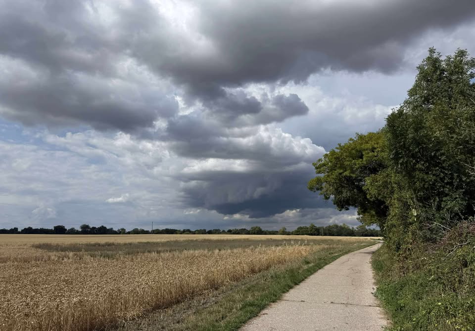
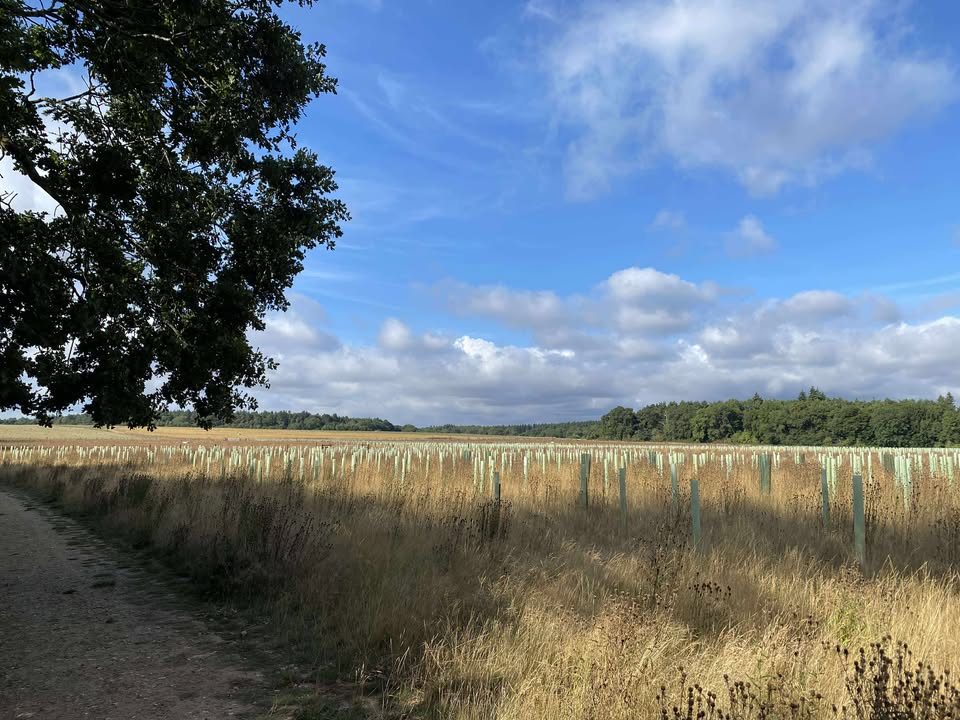
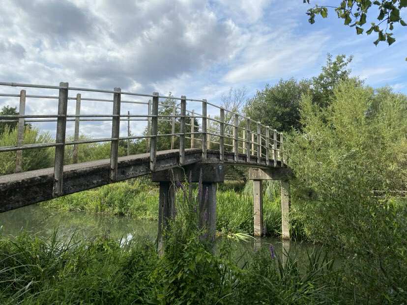
Thanks to Karen for the photograph.
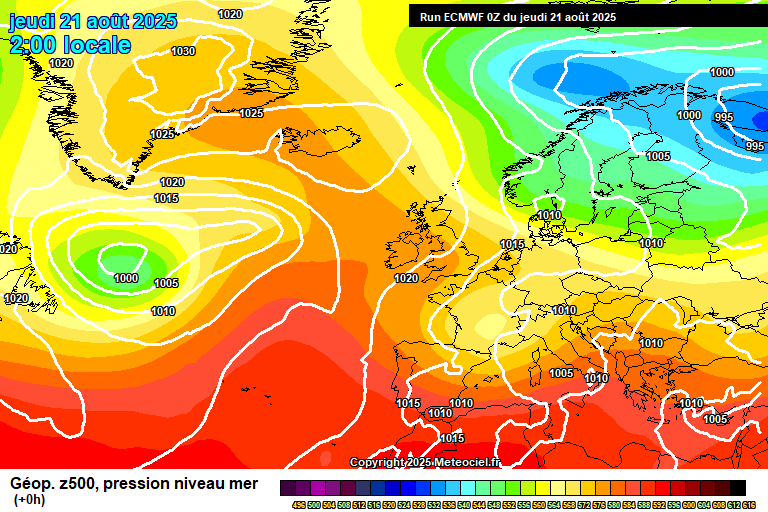
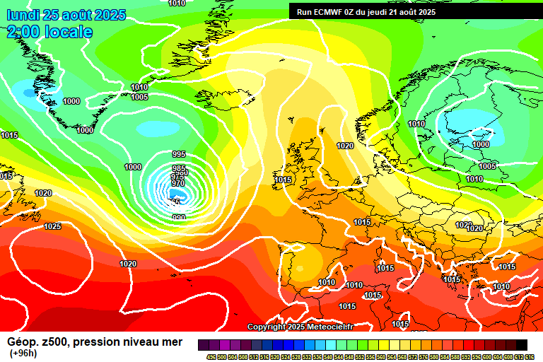
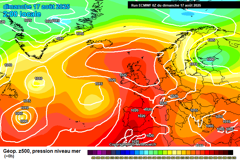
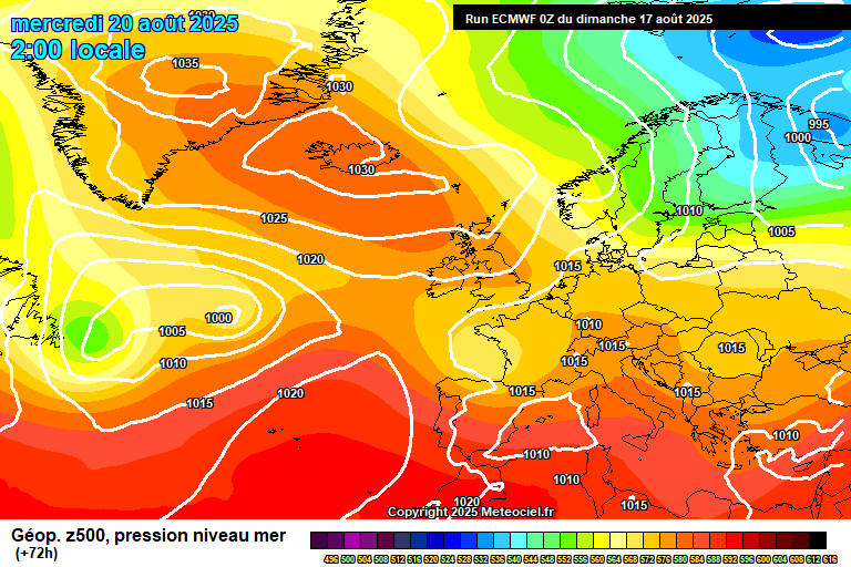
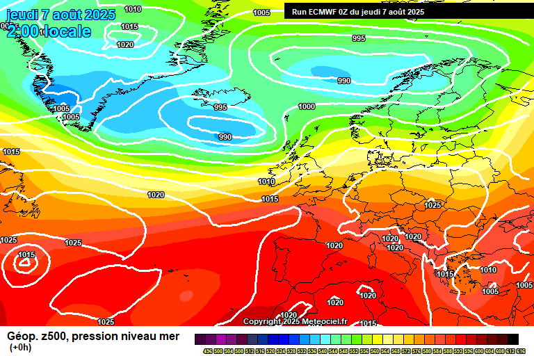
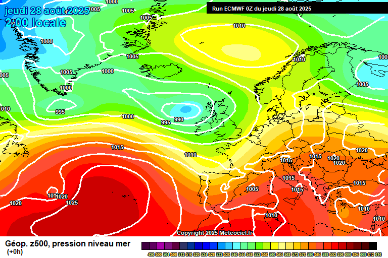
The general overview sees low pressure (ex-Hurricane Erin, I think) approaching, which will kind of spin around our shores for a few days.
Thursday starts fairly sunny but cloud will soon bubble up with heavy showers breaking out widely – most likely you’ll catch a few during the day, some heavy/very heavy downpours possible, a small chance of thunder. Reaching around 20’C and notably breezy in the showers. Most of the showers fade in the evening, but still one or two possible overnight, down to around 13’C.
Friday looks like it will start with a cluster of heavy showers, or perhaps just general heavy rain. This will clear during the morning to be followed by sunny spells and scattered heavy/very heavy showers. Breezy at times, reaching around 21’C. Clear skies overnight, down to around 13’C.
Saturday starts sunny and dry. Cloud will gradually thicken from the west with outbreaks of rain arriving at some point in the afternoon, maybe early evening at the latest. Around 6 hours of showery rain once it arrives. Reaching around 23’C before the rain arrives – becoming quite windy by the afternoon. Skies clearing overnight once the rain clears, down to around 14’C.
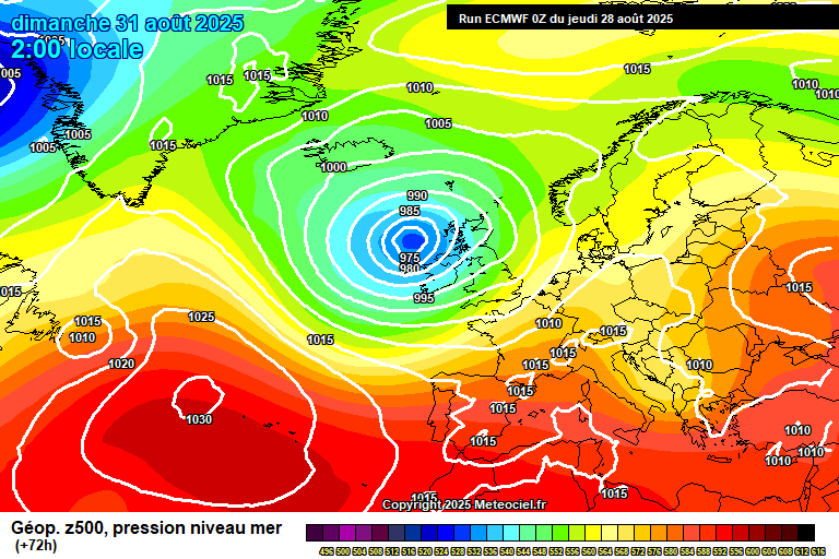
By Sunday the same low pressure will still be centred in a similar position, just to the west of Scotland.
A windy day ensues, with some sunny spells and perhaps some scattered showers – though some uncertainty on the showers, certainly plausible that we stay dry here. Reaching around 22’C. Showers possible overnight.
Monday looks like sunny spells and heavy/very heavy showers, perhaps with thunder. Temperatures a tad lower, say around 19’C.
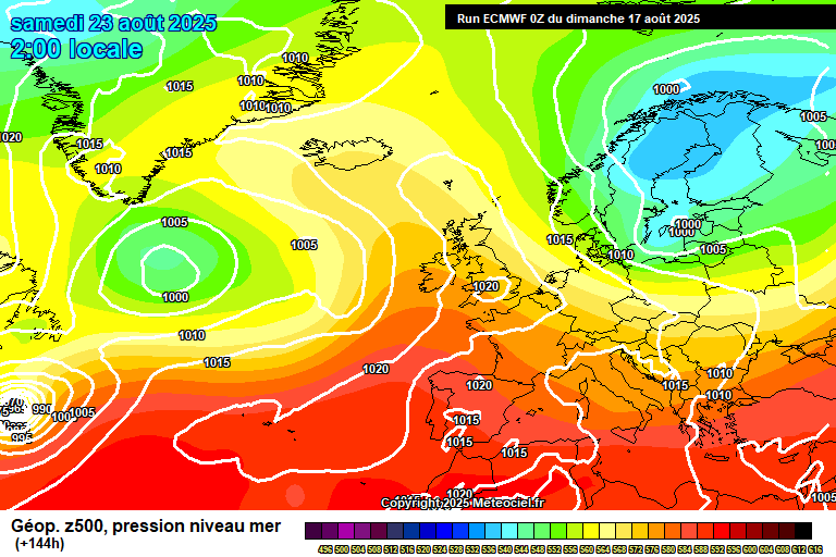
Most likely then a few more days of either sunshine and heavy showers, or general areas of rain.
Possible that it becomes drier for the weekend, certainly some signs pointing to the drier and more settled weather returning either for next weekend or week two onwards of September, though a long way away meteorologically.
Have a pleasant weekend, I need to go explore Helsinki!…