A change is on the horizon, but there is 5 more days of glorious sunshine to come, maybe a 6th…probably not a 7th.
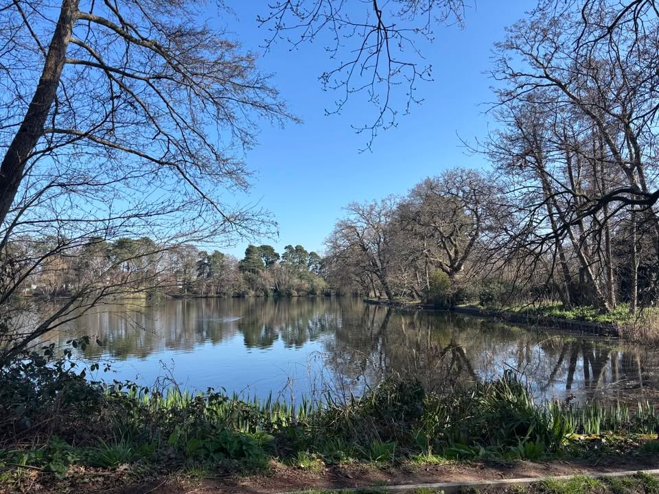
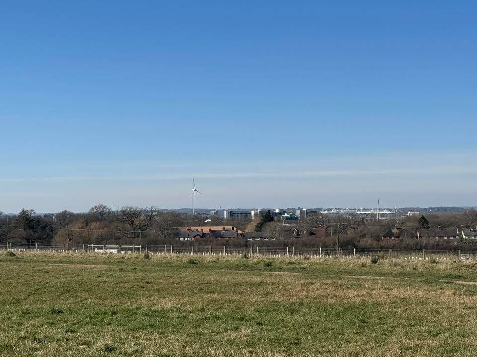
Thanks to Kate for the photograph.
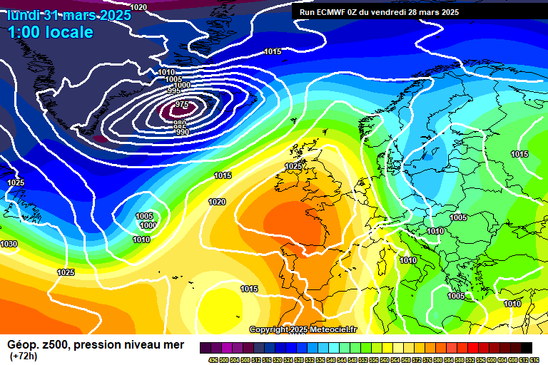
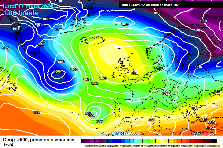
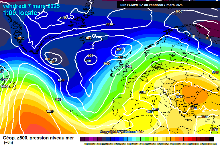
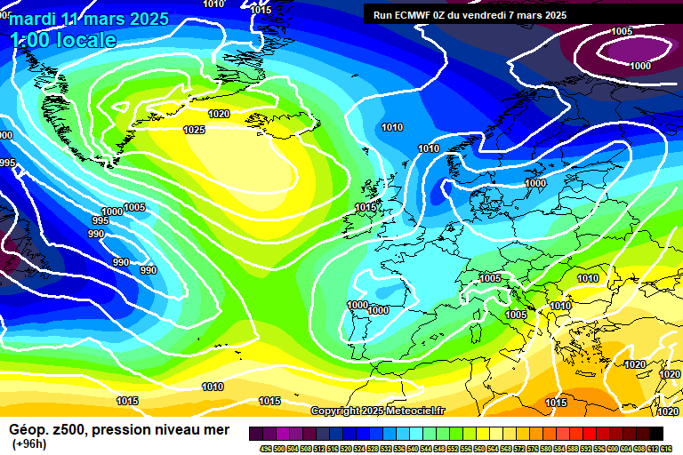
High pressure remains in charge for most of Europe – low pressure systems either far to the west in the Atlantic ocean, or very far east Europe.

Some early mist/low cloud this morning but this will lift into long spells of sunshine all day, maybe a little fair weather cloud. Reaching 16’C – the easterly breeze still taking the edge off, though 16’C is very respectable for early April anyway. Mostly clear skies overnight, a little mist/low cloud in places by dawn, down to around 2’C – a frost possible in more sheltered spots.
Any early mist/low cloud will quickly lift on Tuesday, good spells of sunshine to follow though some high cloud making it a little hazy in the morning, and a bit more fair weather cloud in the afternoon. Reaching around 16’C in a light easterly breeze. Mostly clear skies overnight, though a chance of some low cloud rolling in from the North Sea by dawn. Down to around 2’C, a frost possible in more sheltered spots.
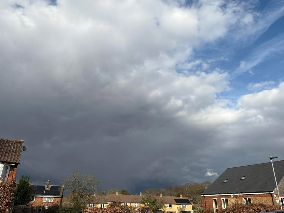
A bit of uncertainty for Wednesday morning, likely more cloud around than there has been to start the day which may well take a little while to burn back – but it almost certainly will, and much of the day will thereafter be sunny, or reasonably so. Around 15’C, give or take – depending on how long it takes for the sun to come out. The North Sea cloud coming back overnight, a mostly cloudy night once it arrives, down to around 5’C.
Thursday starts cloudy. The sun probably breaks through by roughly midday, and thereafter it will be sunny – though some uncertainty on the timing. Temperatures reaching around 16’C – but give or take, depending on how long it stays cloudy for. Reasonably clear skies overnight though some high cloud spreading down from the north, down to around 4’C.
By Friday our high pressure is being squeezed – both by low pressure towards Portugal, and low pressure systems towards our north.

But it is still in control and there will be plenty more sunshine, if probably slightly hazy. We’ll have lost the cooling easterly, so temperatures around 20’C – perhaps 22’C. Mostly clear skies overnight, though a chance of some fog patches by dawn, down to around 6’C.
Saturday most likely hangs onto the good weather, though I wouldn’t say I’m 100% certain. So most likely it will be sunny after any early fog patches clear – though probably becoming cloudier later in the day. Around 20’C or so. An afternoon shower possible. Uncertain overnight but the shower chance increases somewhat.
Sunday is uncertain – broadly speaking sunny spells, some cloud, a chance of a shower – though it could be shower-free and fairly sunny, likewise it could be mostly cloudy and rather showery. Roughly around 16’C to 20’C so still warmish.
Next week looks pretty mixed – some rain/showers on some days, sunshine at other times, and temperatures fairly respectable, more likely in the range of 13’C to 18’C.
Early signs for Easter weekend would suggest the mixed theme is more likely to continue.
High pressure probably returns for late April and into early May.…