Not a very interesting forecast ahead, but I’ll try to make it more so – fairly dry, sometimes sunny, temperatures roughly around normal for mid-April.
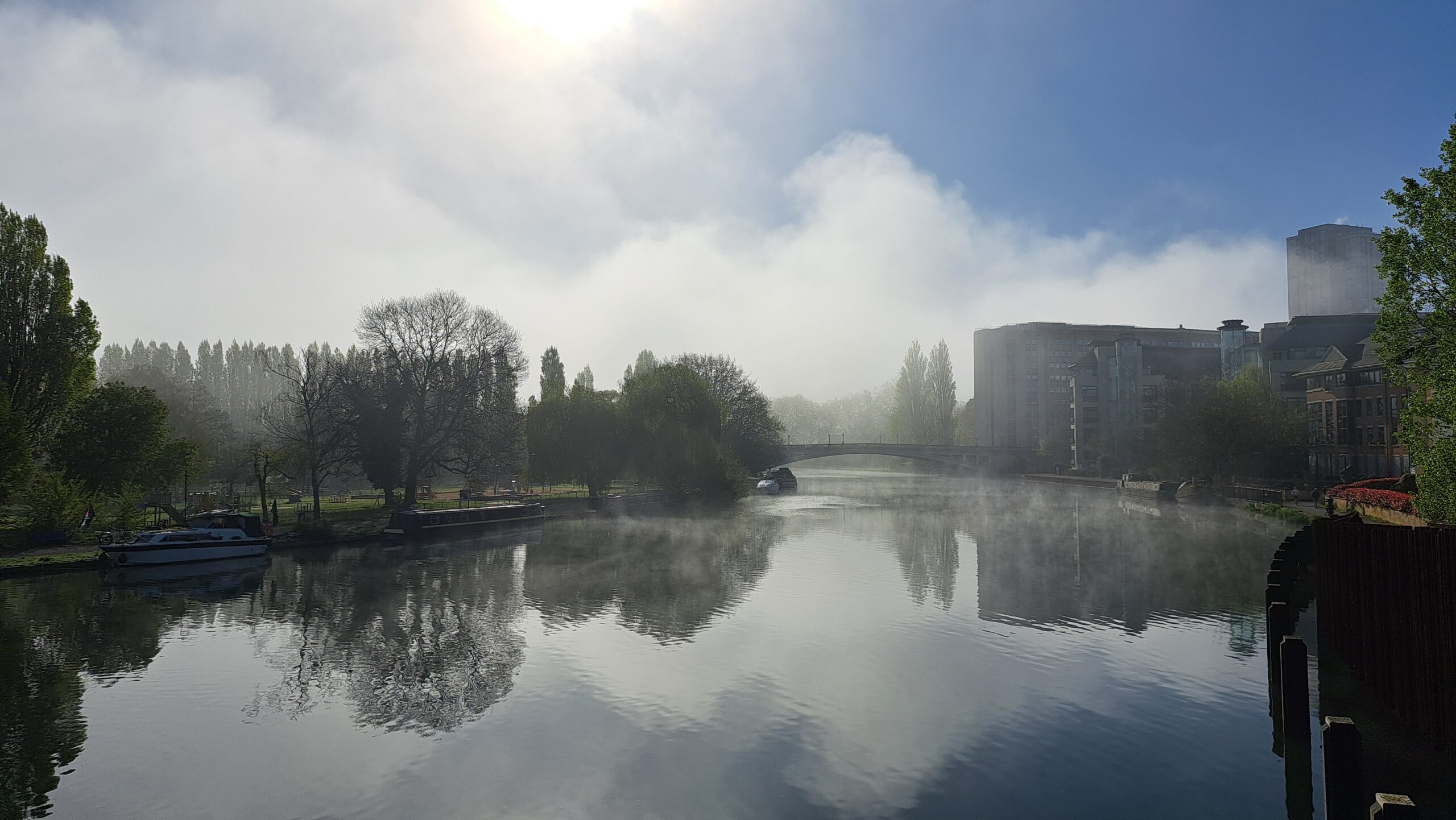
Thanks to Kate for the photograph.
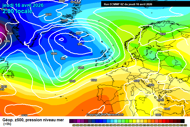
The general picture sees low pressure close-ish to our north-west, high pressure to the south – and a further ridge of high pressure far to the west (just east of Canada) which will take over during the weekend in the UK.
Today will be fairly cloudy with some occasional showers – though also some bright/sunny spells at times too. Around 16’C in a moderate breeze. Quite a lot of cloud overnight, the odd showery bit of rain, around 9’C.
Friday will again be fairly cloudy, some occasional bits of light/moderate rain but also some bright spells with hazy sunshine too. Quite warm, around 17’C, quite windy by late afternoon. A more organised band of rain will cross in the evening, though still pretty limited rainfall amounts, skies clearing for the second half of the night – down to around 5’C.
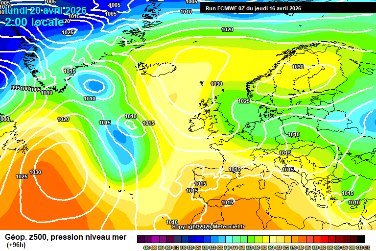
Saturday sees high pressure building from the west. Some cloud, some sunny spells – and a chance of a shower or two though should be on the light side if you catch one. Around 15’C, maybe a tad more. Mostly clear skies overnight and fairly chilly, down to around 4’C.
Sunday looks fairly sunny, especially in the morning with long spells of sunshine. Some cloud gradually bubbling up during the afternoon – perhaps a shower later in the day. Around 15’C. Mostly clear skies overnight and chilly, down to around 3’C.
By Monday we start to pick up an easterly flow – and the source is pretty cold.
Likely more cloud than sunshine overall, a fair chance of some showers developing and feeling cooler in the wind – around 11’C or so. Remaining fairly cloudy overnight, showers still possible and down to around 5’C.
Tuesday fairly similar, probably more cloud than sunshine (though uncertain), a chance of showers and around 12’C – though feeling cooler in the wind.
Details more uncertain from Wednesday – uncertain on cloud/sunshine amounts, temperatures probably recovering a bit to around 14’C, probably dry.
Perhaps for Thursday/Friday the flow will be more south-easterly, so a warmer direction and around 18’C – though this is very tentative right now. Dry and sunny more likely than cloud.
Next weekend is interesting, much warmer air will be trying to spread up from the south at the same time as Arctic air will be trying to spread down from the north. Which will win out? My money is on the Arctic air, alas. But next weekend is a long way away. Of course, something else entirely could happen, but they are the two more likely outcomes.
It does seem like the imprint from the sudden stratospheric warming event back in early March has finally started dripping down into the troposphere (the layer where our atmosphere/weather is), so we’ll have to assume that northerly and easterly flows are more likely than normal going forwards. That said, easterly flows are more common this time of year anyway.
Also we’ve had the final warming of the polar vortex for the season, and that can cause northerly flows – so maybe it’s just that about to (probably) have an effect.
As always with medium/long range forecasting, there’s a lot of mystery. Have a good end to the week/weekend – I should be back on Sunday morning.
Discover more from Weather Forecast For Reading & Berkshire
Subscribe to get the latest posts sent to your email.