Well there’s still some cloud and rain in the forecast, but some sunshine and a taste of spring too – our first 16’C day (perhaps a tad more).
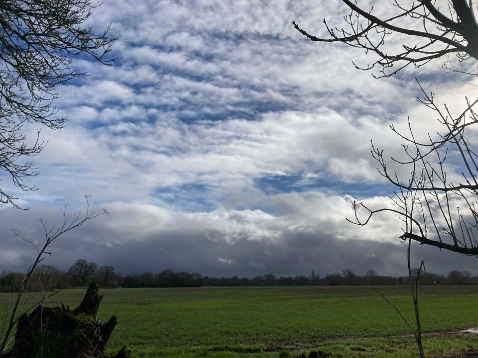
Thanks to Christel for the photograph
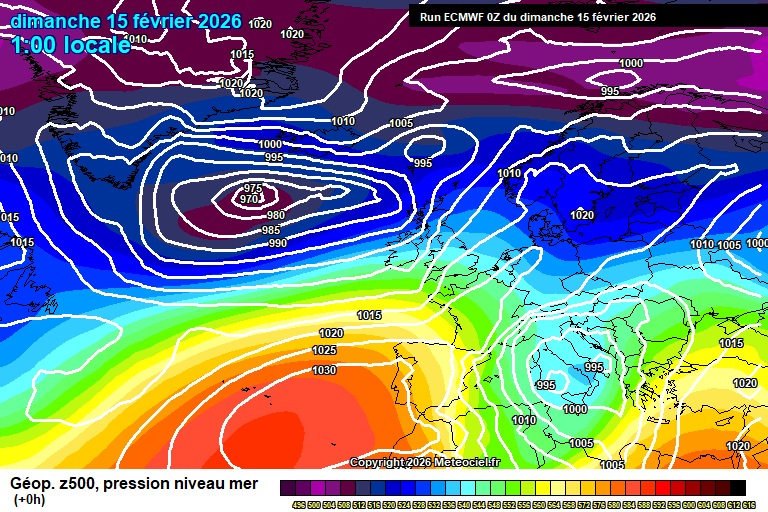
So the general set-up sees low pressure systems to our north, with high pressure having built strongly over Spain/Portugal to our south, and trying to push a bit further north. Not entirely sure why I’m not packing my work laptop and booking a flight to Seville to enjoy a week of warm sunshine, but hey.

Anyway today starts cloudy with showery outbreaks of rain. This clears around mid/late morning and gradually it will brighten up with reasonable amounts of sunshine in the afternoon, just a small chance of a stray shower – say 10% chance. Very mild, 14’C, might even scrape 15’C, breezy too. Variable cloud amounts overnight, a stray shower possible – down to around 7’C.
Monday starts with some hazy sunshine but cloud will thicken from the west with some patchy rain in the afternoon – mostly light, but the odd heavier burst could be mixed in later. Mild and breezy, 13’C. Mostly cloudy in the evening and overnight, some patchy rain at first but mostly dry from late evening onwards. No lower than around 9’C.
Tuesday starts mostly cloudy. The cloud will gradually break up and the afternoon should be mostly sunny – very pleasant indeed, though some uncertainty as to when the cloud breaks up. Feeling mild in the southerly breeze, around 14’C – maybe a tad more. Clear skies overnight, perhaps some mist/fog patches by dawn – down to around 6’C.
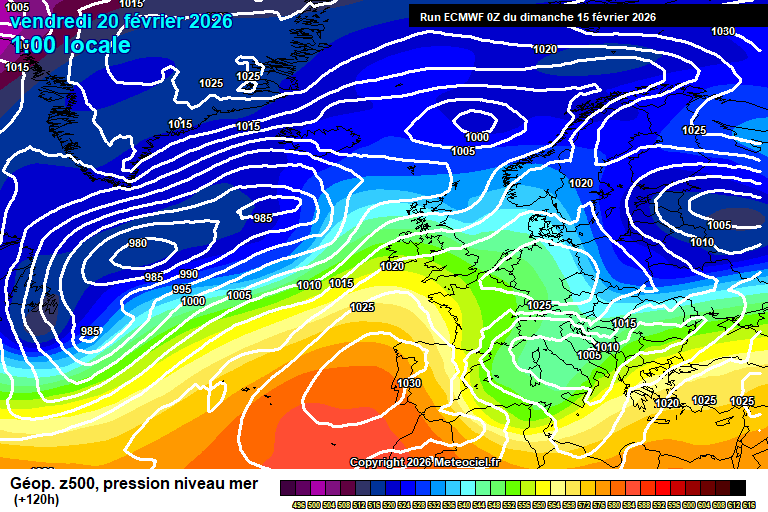
By Wednesday the next low pressure system is ready to push across, but not before we’ve had a taste of spring.

Some mist/fog/low cloud possible at first, and it’s not impossible that it hangs on to spoil the first day of spring – but most likely (90% likely) the sun will be out all day with long spells of sunshine, and it will feel quite warm – 17’C would be feasible. Gosh I’m so excited, but why is it on my office day? Clear spells probably at first, cloudier later – perhaps some light rain by dawn and around 7’C.
Most likely Thursday will be on the cloudy side of things, some bright spells with hazy sunshine possible, also some light showery rain at times. Still very mild, 14’C or so. Rain likely crossing either in the evening or overnight.
More likely Friday is a day of sunshine and showers, breezy and we’ll have lost the warmish air mass – around 11’C or so.
Uncertain for next weekend – anything especially wet seems unlikely, some showery rain possible but also some decent dry spells, perhaps sunshine too. Around 11’C which is slightly higher than average.
Changeable conditions more likely to persist after – a mixture of weather fronts, showers and dry/sunny days, and temperature broadly a little above average more likely, though a couple of colder days could be mixed in. Rainfall amounts likely fairly low in total.
Have a pleasant Sunday and enjoy your early taste of spring!…